
Halifax Metro
The provincial capital and Atlantic Canada's largest urban centre, built around one of the world's great natural harbours.
Independent information website. Not a government or official tourism site.
Atlantic Canada
A clear, independent guide to Canada's Atlantic peninsula province: its seven regions, its history and food, and the practical details that help you plan.
Population: Statistics Canada estimate for July 1, 2026, as reported by the Government of Nova Scotia.
The province at a glance
Nova Scotia is almost an island. A narrow strip of land, the Isthmus of Chignecto, joins it to New Brunswick and the rest of Canada, and no part of the province is more than about 67 km from salt water. That geography explains much of its story, from Mi'kmaw travel routes and fishing grounds to naval history, shipbuilding and today's ocean industries.
It is also one of the four founding provinces of Canada, home to the Mi'kmaq, to Acadian, Gaelic and African Nova Scotian communities, and to a capital city that serves as the commercial centre of Atlantic Canada.
Seven regions
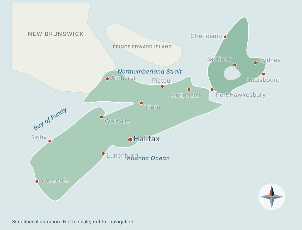
The province is commonly divided into seven travel regions. Each has its own landscape and character.
The provincial capital and Atlantic Canada's largest urban centre, built around one of the world's great natural harbours.
A deeply indented coast of fishing villages, sailing harbours, white-sand beaches and granite headlands running southwest from Halifax.
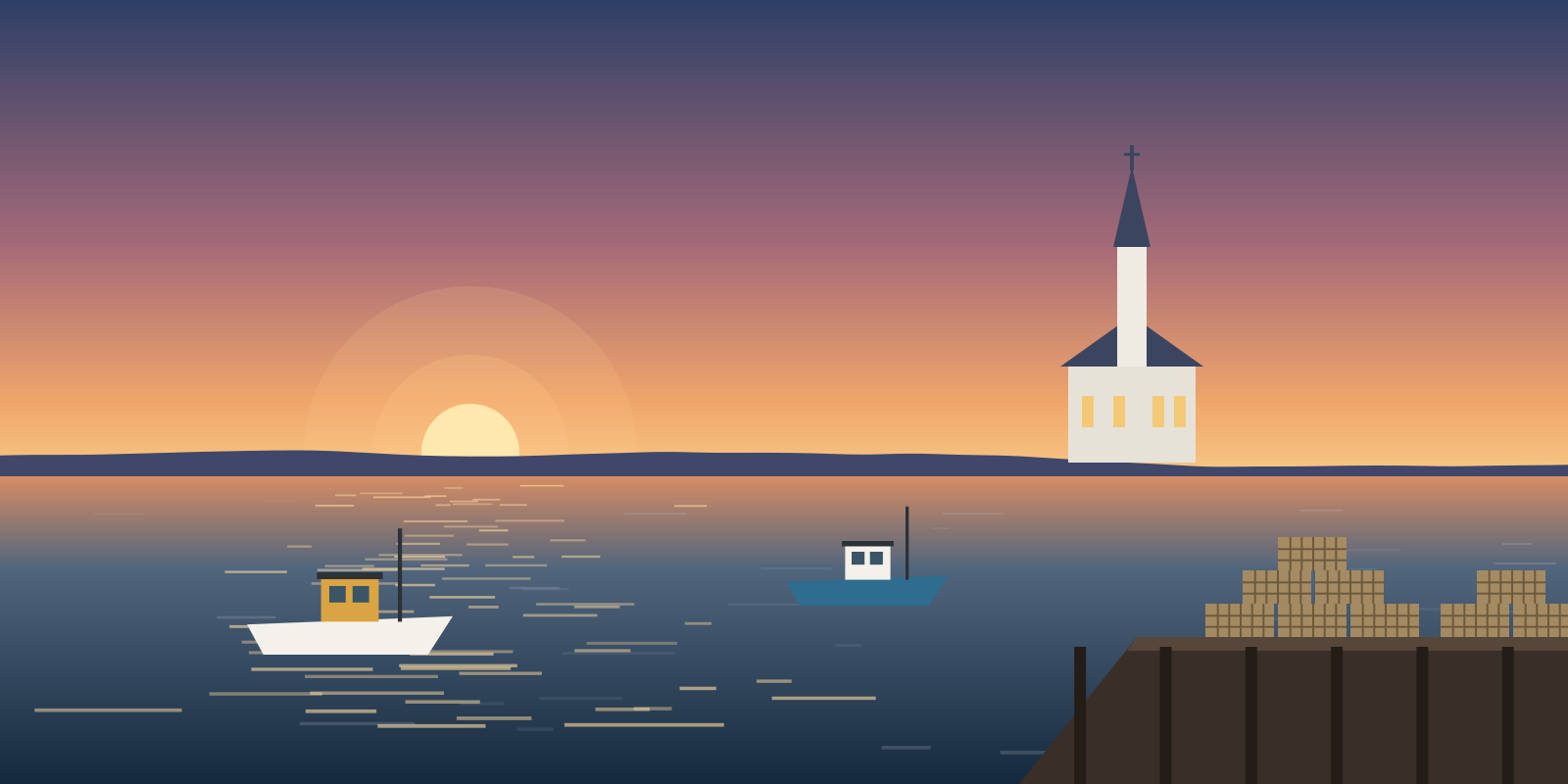
The southwestern tip of the province, where working fishing harbours sit beside long-standing French-speaking Acadian communities.
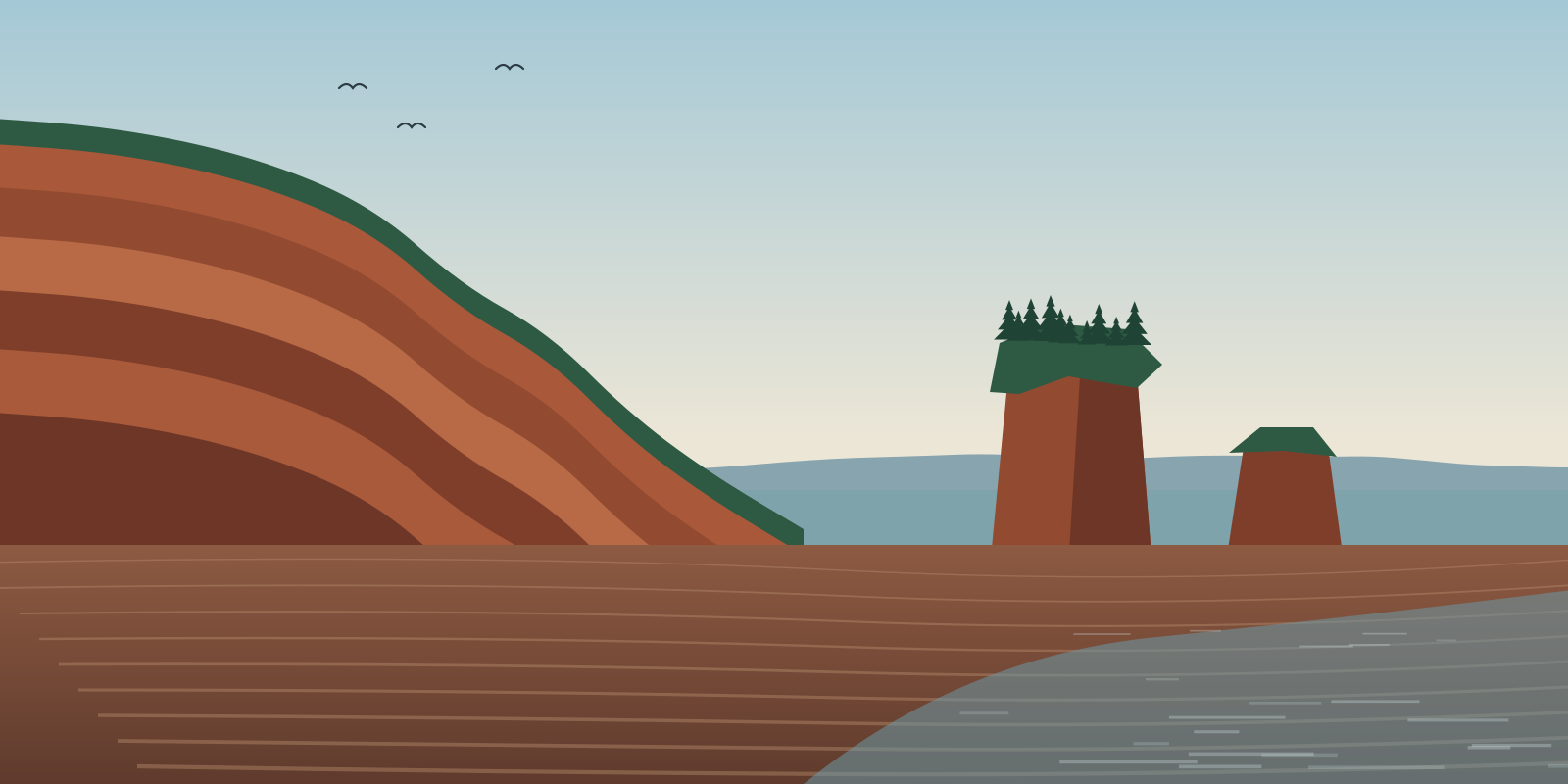
Some of the highest tides in the world rise and fall along these shores, exposing sea floor and red cliffs twice a day.
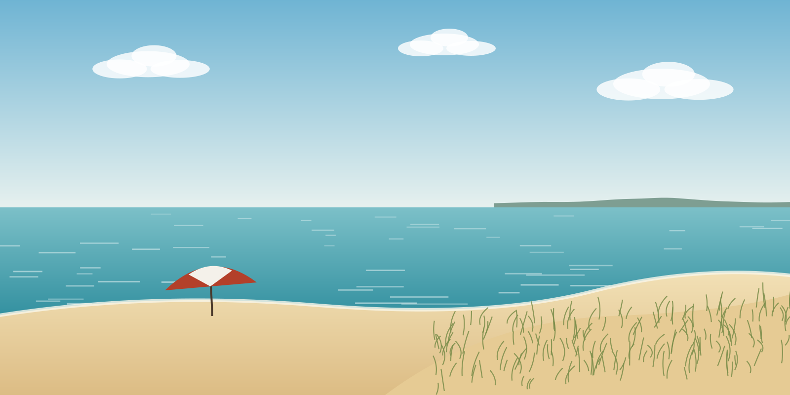
The north-facing shore along the Northumberland Strait has gently sloping sandy beaches and some of the warmest summer sea water in Atlantic Canada.
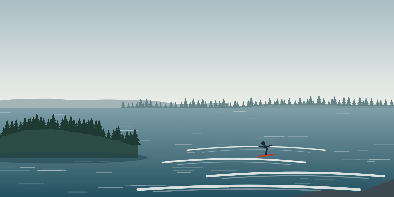
East of Halifax, the coast turns quieter and wilder, with long surf beaches, spruce-covered islands and few large towns.
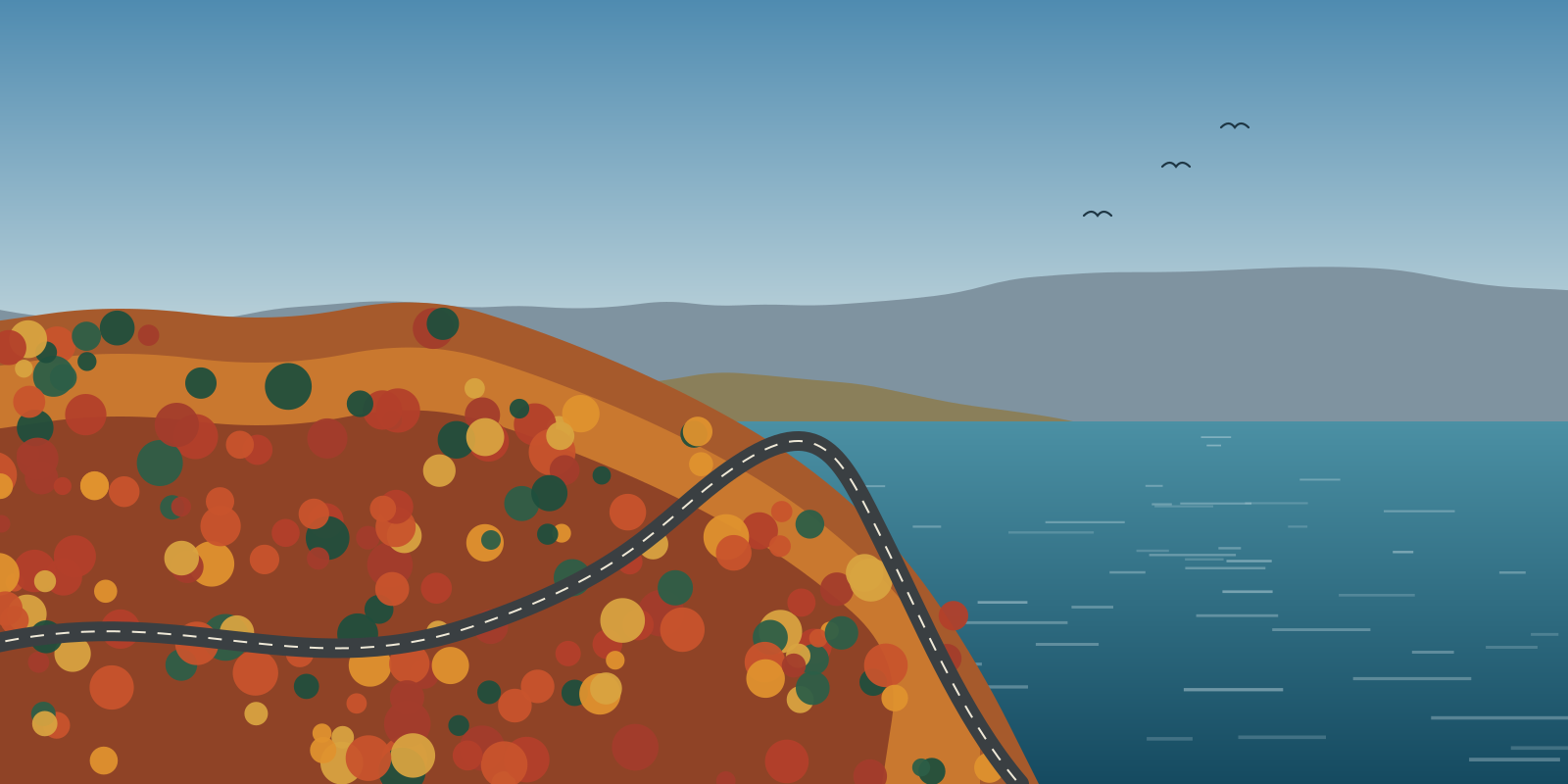
Linked to the mainland by the Canso Causeway, Cape Breton is known for the Cabot Trail, a 298 km loop through highland and coastal scenery.
See the full map, what each region is known for and its main highlights.
Guides
From Mi'kma'ki and Acadie to the Halifax Explosion and Pier 21.
Lobster, scallops, rappie pie, donair and Tidal Bay wine.
How to get here, when to come, driving times and essentials.
Work, study, healthcare, climate and everyday life.
Free brochure
Keep a compact overview on your phone or print it for planning. It's free, with nothing to buy.
Free PDF, available to download straight after you submit. No payment and no obligation. We use your name and email only to handle this request and never sell them. See our Privacy Policy.